
Hello thanks for visiting atom Geospatial solutions, welcome to this tutorial about downloading shape files from Open Street map data.
Don't forget to also follow us on facebook @atomgeospatialsolutions and to subscribe to our emailing list in order not to miss out on Geo- information.
 |
| A snapshot of Washington,USA from Open street Maps |
What is Open Street Map ?
Open street map abbreviated as OSM is a collection of free spatial data about roads, buildings,railway lines, water bodies e.t.c that is created and maintained by Gis professionals, young mappers, engineers, social workers, humanitarian organisations and so many other people like you.
| OSM logo |
You too can join the OSM community to start contributing and editing data but how to do that will be for some other day.
Always GIS projects, one may have a task to accomplish e.g urban growth analysis, multi criteria decision system, buffer creation e.t.c.
One of the main challenges with such projects has been and is always with data availability, well thanks to OSM for creating a broad community of mappers world wide who always edit satellite images to extract spatial features such as roads, buildings, rivers, lakes e.t.c plus their attributes.
Amazingly, you don't have to pay to this data its free of charge.
How to download shape files?
Step 1: Visit OSM website at https://www.openstreetmap.org

Don't forget to also follow us on facebook @atomgeospatialsolutions and to subscribe to our emailing list in order not to miss out on Geo- information.
Step 2: Sign up for an OSM account using your email address.

Step 3: Once you create an account, then you can use any OSM data at a free cost. Open google and search for Hot export tool. Hot export tool is a tool that was designed to export and download different formats of spatial data from OSM

Step 4: Open the Hot export tool and login using your OSM account credentials
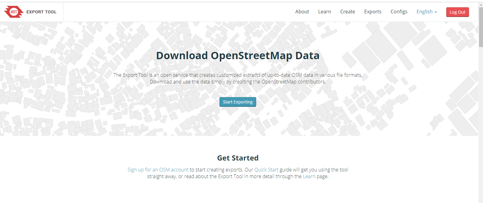
Step 5: Click start exporting. We shall export a shape file of Washington Dc. Using this tool fill in a few details of the area of interest and search for it. In case you are interested in a smaller extent, you can use the bounding box to select the boundaries of your area.

Step 6: Edit the geographical extent to suit your needs using the bounding box.

Step 7: Select format as shp

Step 8: Select the feature types to export as a shape file.

Step 9: View a summary of the export


The processing time will depend on the size of your area. On completion , an email will be sent to you will a link to download the shape file .
 |
| email from Hot team with the download link |
Thanks for reading this article, kindly spend a minute of your time to like us on facebook @atomgeospatialsolutions . This will help us to expand our audience .

![QGIS Georeferencing [Tutorial]](https://blogger.googleusercontent.com/img/b/R29vZ2xl/AVvXsEjc9sq2qo8xv4uKC-9P4l8_T0Xr6L7HS2yf2jjcZigHKve-J-c4aFb6U2h1ujYPZkIlZc1ejAuK_1Wk3MmQBQSzDmPIy1v4BhN0HgJ8S0n3U9PMZtm7PRE-eO1adeR_Qa25ghApjRgfZvw/w72-h72-p-k-no-nu/uganda_se_1964.jpg)
